Emergency Management
Overview
Welcome to our new website!
During times of emergency, the Emergency Management Team manages and coordinates the County’s Emergency Operations Center (EOC). The EOC serves as a central hub for partners to gather, coordinate, and make informed decisions to protect lives, property and the environment.
What does the St. Johns County Department of Emergency Management do when we’re not in an active state of emergency?
- Coordinate countywide disaster preparedness, response, recovery, and mitigation activities
- Develop and maintain plans
- Managing the evacuation assistance program
- Conduct trainings
- Educate the public
- Cultivate partnerships with local agencies and individuals who assist us during emergencies

St. Johns County
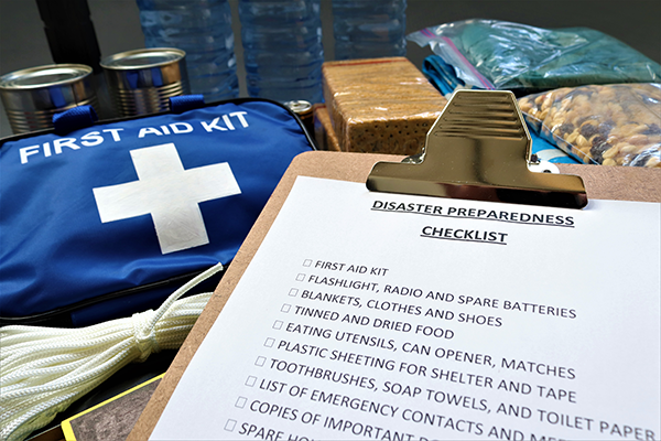
Hurricane Preparedness Guide
Be Prepared


Stay Informed
Plans